DAY 2
AM: Chinese Hat
This islet, located near Santiago Island, gets its name from its shape, which resembles a Chinese hat. The islet has a volcanic origin and was formed in one of the many eruptions of Santiago, and was then separated from the main Island by the sea water erosion. The trail starts on the beautiful beach for the islet to then ascend a bit through the lava fields and formations, which are very new in geological terms.
This is a very good place to see how the pioneer vegetation starts to grow directly from the lava, preparing the soil for other plant species. The beach is populated by Sally Lightfoot crabs, American Oystercatcher, marine iguanas and a colony of endemic Galapagos sea lions.
PM: Sullivan Bay
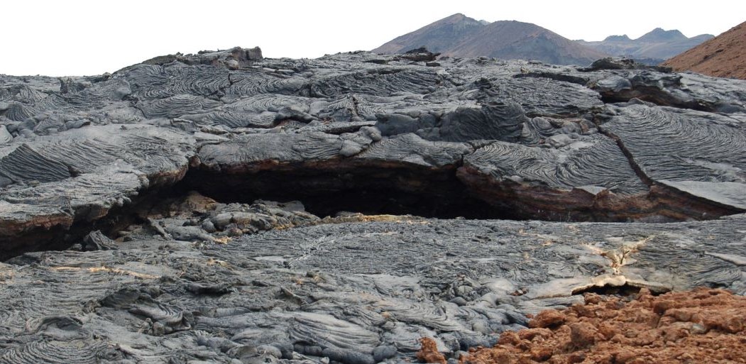
Sullivan Bay is located southeast of Santiago Island, and is of great geological interest. The area is covered by Pahoehoe lava flows (solidified lava in corrugated or accordion form). It was very active in the last 25 years of the nineteenth century. The Sullivan lava formed in 1897. This flow is a geologically very young.
The magma formed is flat, but the movement of underground lava, the rapid cooling and other eruptions led to the break in many places. 200 m around the landing, you can see patterns of vegetation that were burned during the eruption. A visit to this area of black lava is preferable in the afternoon because the temperature is more pleasant and the light is better for photographs.